01 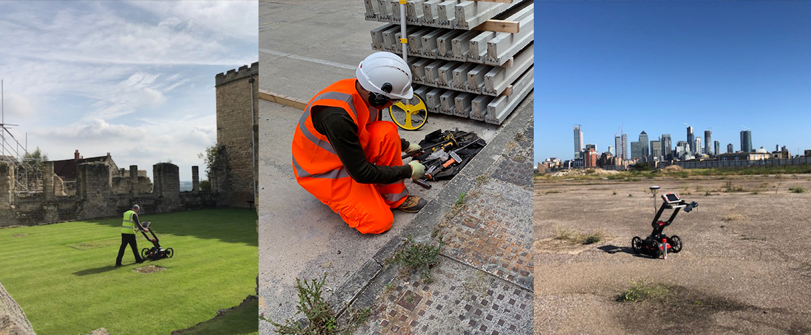
Utility Mapping
Accurate detection and mapping of buried services, giving you a clear, reliable picture of what lies beneath your site.
Learn more →
Areas covered
Our Leeds surveys cover the South Bank regeneration area and former industrial land around Holbeck, as well as the city centre, giving design teams the underground data they need before submitting for planning.
Services available in Leeds
Accurate detection and mapping of buried services, giving you a clear, reliable picture of what lies beneath your site.
Learn more →
Statutory record gathering from asset owners, giving you a clear utility picture before a single spade goes in the ground.
Learn more →
Utility surveys delivered to the PAS-128 specification, the recognised benchmark for quality, accuracy and confidence.
Learn more →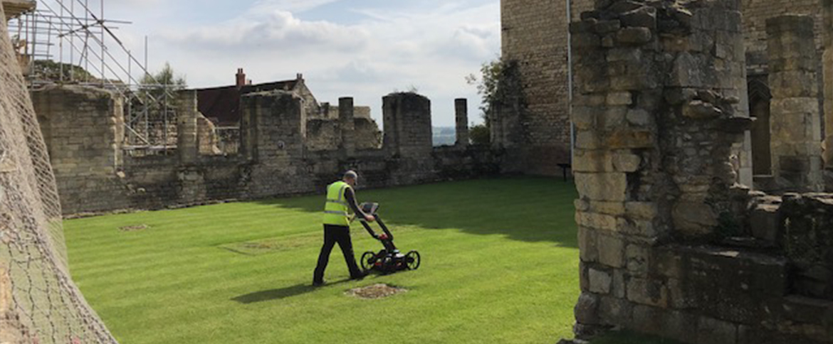
Non-invasive GPR surveys that locate utilities, voids and subsurface features with precision and zero disruption.
Learn more →
Detailed, survey grade terrain and feature data to underpin accurate design and confident development.
Learn more →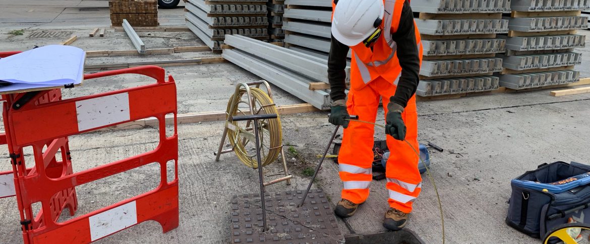
Full mapping and condition assessment of drainage networks, identifying connectivity, defects and flow.
Learn more →
Get a same-day quotation from an industry leading team of utility surveyors.