01 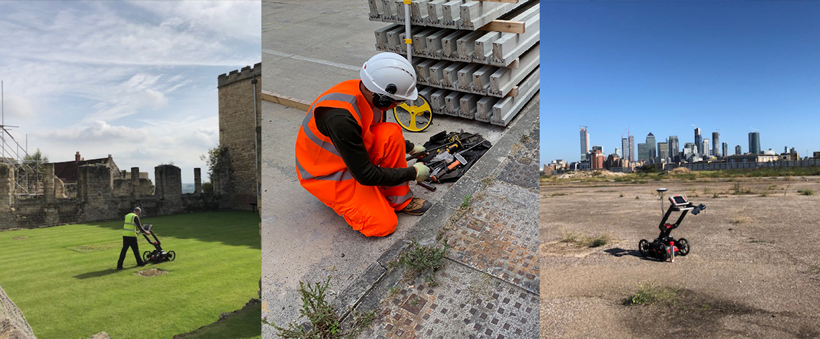
Utility Mapping
Accurate detection and mapping of buried services, giving you a clear, reliable picture of what lies beneath your site.
Learn more →
What we do
Nine specialist services under one roof, everything you need to understand what lies beneath, above and within your site.
Accurate detection and mapping of buried services, giving you a clear, reliable picture of what lies beneath your site.
Learn more →
Statutory record gathering from asset owners, giving you a clear utility picture before a single spade goes in the ground.
Learn more →
Utility surveys delivered to the PAS-128 specification, the recognised benchmark for quality, accuracy and confidence.
Learn more →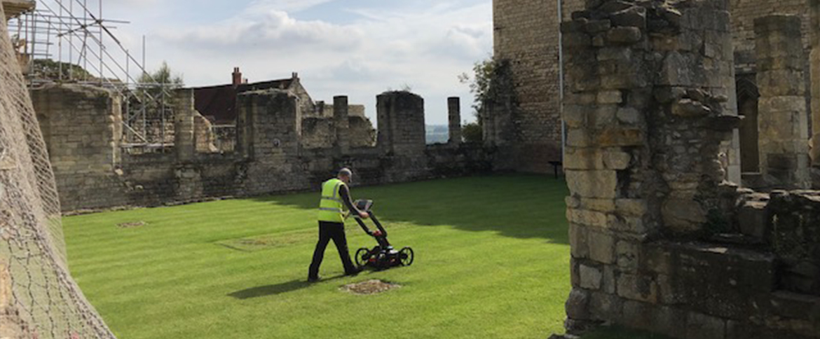
Non-invasive GPR surveys that locate utilities, voids and subsurface features with precision and zero disruption.
Learn more →
Detailed, survey grade terrain and feature data to underpin accurate design and confident development.
Learn more →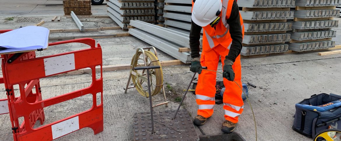
Full mapping and condition assessment of drainage networks, identifying connectivity, defects and flow.
Learn more →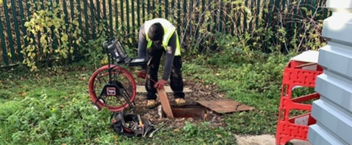
High resolution camera inspections that reveal the true internal condition of pipes and drainage assets.
Learn more →
Accurate floor plans, elevations and sections that capture the true geometry of any structure.
Learn more →
High pressure jetting to clear blockages and restore flow, keeping drainage systems running freely.
Learn more →